Itinéraire vélo / Lessay – Créances – Pirou – Geffosses
Departure from: Lessay, greenway
GPS coordinates (Lat, Lon): 49.218170, -1.529730
Cumulative positive altitude difference: 98 m / Negative cumulative altitude difference: – 112 m
On your journey
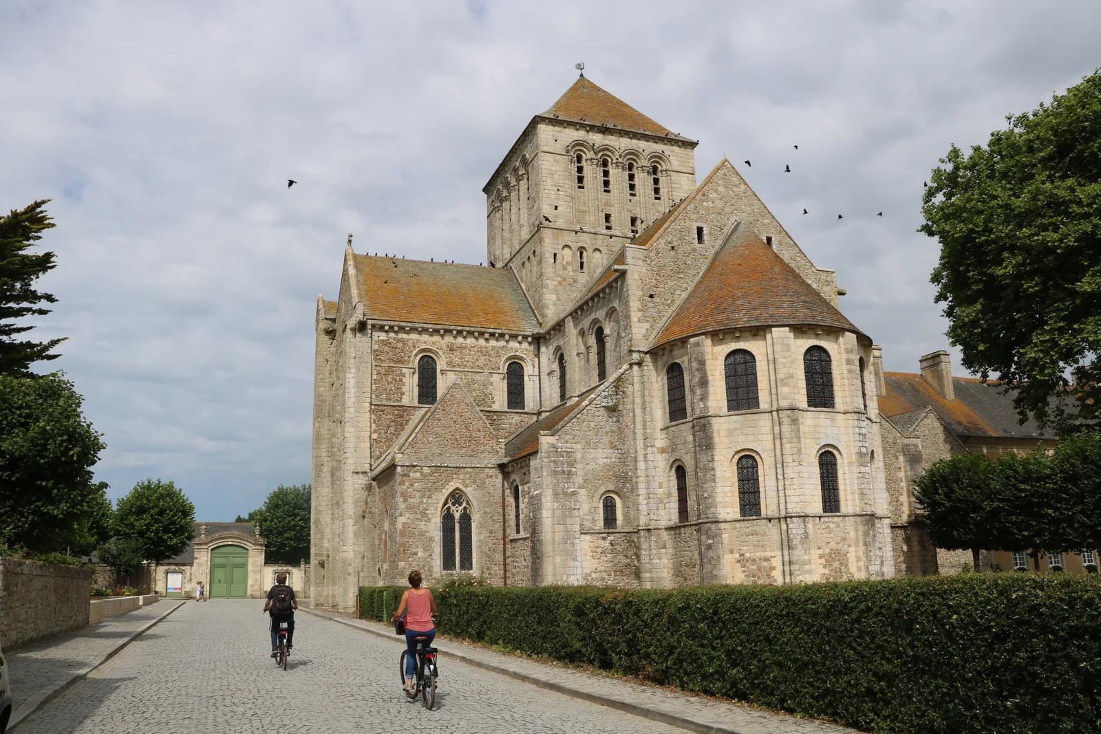
A – Lessay
All shops, restaurants, bank, post office, picnic area…
To see: Lessay Abbey, Val de l'Ay Dairy (paying), Mathon peatland nature reserve (by reservation/paying)
B – Pont de la Goutte wash house
Picnic area.
To see: Interpretation trail on the Pont de la Goutte washhouse
C – Créances-Bourg
All shops, banks, post office, playground…
To see: Sainte-Trinité Church, Lourdes Cave (reproduction)
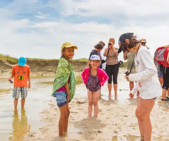
D – Créances-Plage
Unsupervised beach, restaurant, picnic area, campsite, lodges
To see: Dunes of Créances
E – Pirou-Bourg
To see: St-Martin Church, Moulin de la Tortue (400 m west of the town following the RD 434)
F – Pirou-Pont
Town hall, municipal postal agency, bread distributor
To see: The Park (natural recreational space)
G – Château de Pirou
To see: Fortified castle built in the 12th century (paying)
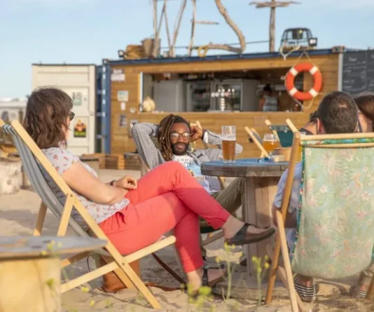
H – Pirou-Plage
Beach with lifeguard, shops, restaurants, cinema, ATM
To see: Dunes of Pirou, seaside architecture
I – Geffosses
Grocery store/bakery/Press, municipal postal agency
To see: Saint-Samson Church, rue du Menhir, ornithological observatory of Havre de Geffosses (1,3 km west of the town following the RD 53)
GPS coordinates (Lat, Lon): 49.218170, -1.529730
Cumulative positive altitude difference: 98 m / Negative cumulative altitude difference: – 112 m
On your journey
A – Lessay
All shops, restaurants, bank, post office, picnic area…
To see: Lessay Abbey, Val de l'Ay Dairy (paying), Mathon peatland nature reserve (by reservation/paying)
B – Pont de la Goutte wash house
Picnic area.
To see: Interpretation trail on the Pont de la Goutte washhouse
C – Créances-Bourg
All shops, banks, post office, playground…
To see: Sainte-Trinité Church, Lourdes Cave (reproduction)
D – Créances-Plage
Unsupervised beach, restaurant, picnic area, campsite, lodges
To see: Dunes of Créances
E – Pirou-Bourg
To see: St-Martin Church, Moulin de la Tortue (400 m west of the town following the RD 434)
F – Pirou-Pont
Town hall, municipal postal agency, bread distributor
To see: The Park (natural recreational space)
G – Château de Pirou
To see: Fortified castle built in the 12th century (paying)
H – Pirou-Plage
Beach with lifeguard, shops, restaurants, cinema, ATM
To see: Dunes of Pirou, seaside architecture
I – Geffosses
Grocery store/bakery/Press, municipal postal agency
To see: Saint-Samson Church, rue du Menhir, ornithological observatory of Havre de Geffosses (1,3 km west of the town following the RD 53)